
[Coursera] Remote Sensing Image Acquisition, Analysis and Applications
 About this Course
Skills you will gain
- Radar Systems
- Remote Sensing
- Machine Learning
- Image Analysis
Description
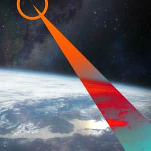
Remote Sensing Image Acquisition, Analysis and Applications is a training course on remote sensing, creation of sensor images and analysis and application of these images in various fields, published by Coursera Specialized Academy. During the process of this training course, you will get to know the process of imaging the surface of the earth in a completely specialized way. Taking pictures of the earth’s surface is a long process, and engineers use different methods such as satellites and drones to realize it. For remote sensing, there are different platforms and sensors that you will get to know about the types and applications of each during this training course. Imaging and measuring is the initial part and the first stage of the work, and very complex computational algorithms are used to interpret and explain these images and photos in the next stages.
Getting to know the history of these algorithms is one of the most important topics raised in this training course, and at the end you will get to know the techniques based on machine learning and deep learning that are used in remote sensing today.
What you will learn in Remote Sensing Image Acquisition, Analysis and Applications
- Different radar systems
- remote sensing
- Machine learning and deep learning
- Analysis of images
- And …
Course Specifications
Publisher: Coursera
Instructors: John Richards
Language: English
Level: Intermediate
institution/university: UNSW Sydney (The University of New South Wales) and IEEE Geoscience and Remote Sensing Society
Number of Weeks: 15
Duration: Approx. 23 hours to complete
Size: 1.40 GB
https://www.coursera.org/learn/remote-sensing.